
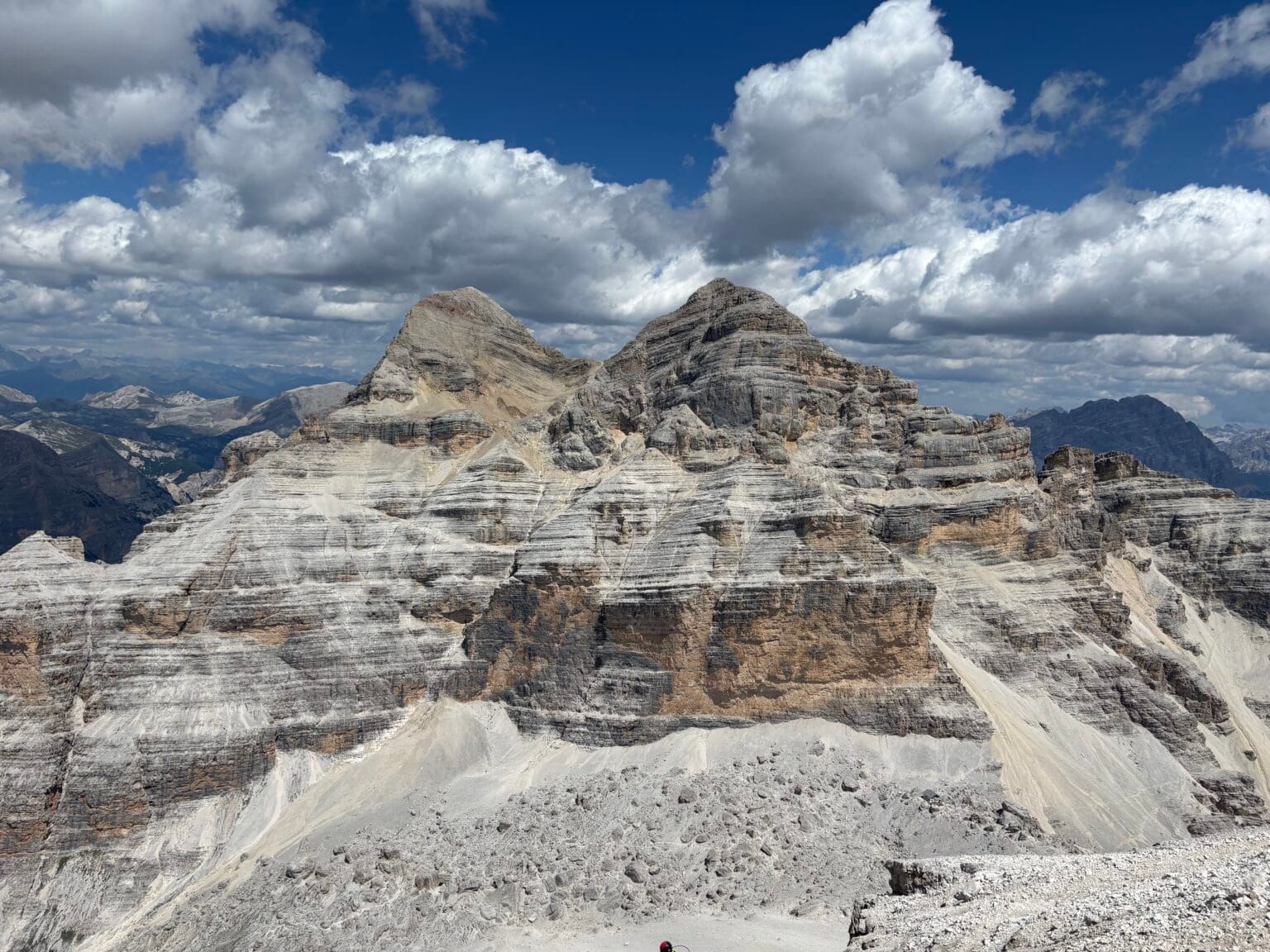

Via ferrata Giovanni Lipella is one of the longest and most iconic via ferratas in the Dolomites. It begins with a 500-meter-long tunnel and the steel cables stretch for an impressive 1.8 km! This iron path leads all the way to the summit of Tofana di Rozes (3,225 m), from which the Tofana massif reveals itself in all its glory.
Via ferrata Giovanni Lipella: General Information
- 📍 Mountain group: Tofana Dolomites, Italy
- 🧗♀️ Route difficulty: C/D*
- ⏰ Duration: 7-8 h
- 📏 Total distance: 12 km
- 📈 Elevation gain: 1500 m
- 🔗 Cable length on the route: 1,800 m
- ⛰️ Highest point: Tofana di Rozes (3,225 m). The third highest peak in the Dolomites.**
* You can find more information about via ferrata difficulty levels and required equipment here: Via Ferrata – how to prepare? Equipment, clothing, and route difficulty.
** The highest peak in the Dolomites is in the Marmolada massif.
Route Map
Via ferrata Giovanni Lipella Stages
Via ferrata Giovanni Lipella consists of two main stages. The first leads to the Tre Dita rocks. From here, if you no longer wish to continue the route, you can descend to the Rifugio Giussani hut and back down to Rifugio Angelo Dibona. The second stage leads to the summit (CIMA) – Tofana di Rozes (3,225 m). Below you will find the progression of this route and detailed descriptions of the stages.
Getting to Via ferrata Giovanni Lipella
🅿️ Parking: Rifugio Angelo Dibona 📍
The route starts at the Rifugio Angelo Dibona hut. You can drive up to it and leave your car for free in a large parking lot. We arrived the night before and stayed at the hut, so we could hit the trail early.
This is perhaps the most well-equipped hut in the Italian Dolomites. It has unlimited hot showers, Wi-Fi and really good food.
Approach to the Start of Via ferrata Giovanni Lipella
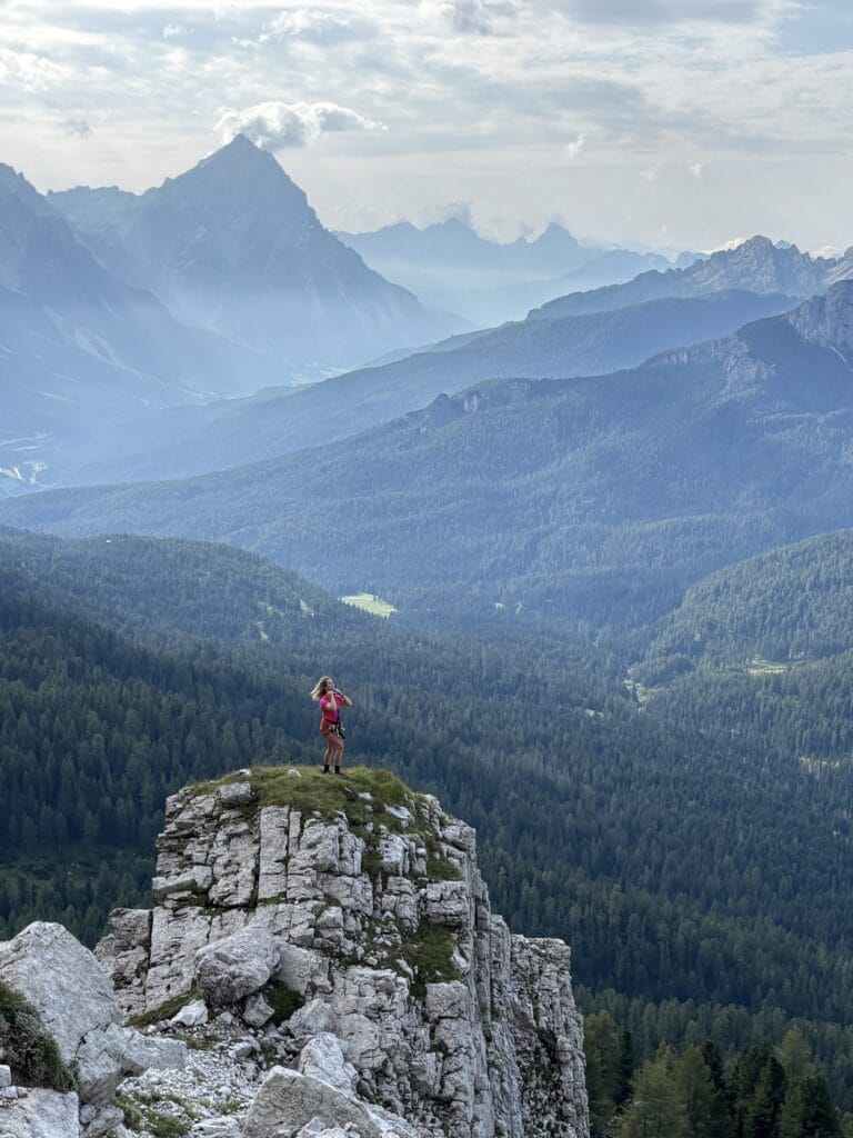
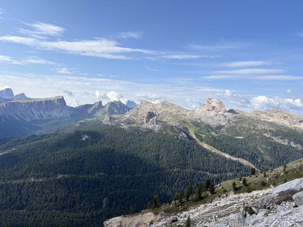
From Rifugio Angelo Dibona, trail number 404 turns towards the Tofana di Rozes mountain. The gravel path climbs steadily, and as you walk, you can admire the approaching Tofana cliffs, as well as the emerging peaks of Cinque Torri, Monte Averau, and Ra Gusela in the distance.
After walking for about an hour, you will reach a junction with signs pointing to Via Ferrata Lipella / Galleria del Castelletto. Turning right, you will begin to climb a bit more steeply towards the Tofana rocks until the first cables come into view. The path ends at a small flat area, which is a convenient spot to stop and put on your gear.
Galleria del Castelletto Tunnel
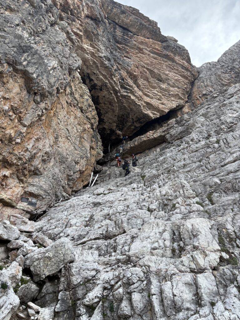
The start of Via ferrata Giovanni Lipella is quite unusual. It begins with ladders leading into a World War I tunnel.
A bit of history: During the First World War, the Austro-Hungarian and Italian front line at Tofana di Rozes was one of the harshest battlegrounds. The Austrians had occupied the strategically important Castelletto rock peak, from which they monitored Italian movements. Seeing no way to take this position by direct assault, the Italian soldiers decided to dig a tunnel right inside the rock, directly beneath the Austrian positions.
From January to July 1916, Italian troops excavated a tunnel about 500 meters long in the rock (Galleria del Castelletto). At the end of the tunnel, 35 tons of explosives were placed. On the night of July 11, 1916, the mine was detonated. The blast wave blew off part of the Castelletto rock and cleared the way for Italian forces to capture this strategic point.
Decades after the war, the old military trails and tunnels in the Dolomites were gradually adapted for mountaineering and tourism. Via Ferrata Giovanni Lipella was officially opened in 1967, with the help of Cortina d’Ampezzo guides and the Italian Alpine Club (CAI).
ℹ️ For this stage, you will need a headlamp.
Via ferrata Giovanni Lipella to the Tre Dita Junction
Once you emerge from the Galleria del Castelletto tunnel, you can take off your headlamps – you won’t need them anymore. The trail then follows a ledge along the cliffs. The ledge is wide, the path is marked, and it’s a fun walk. However, the via ferrata itself starts a bit higher up on the rocks; the starting point isn’t very clearly marked, so it’s important to look up occasionally and keep an eye out for the cables.
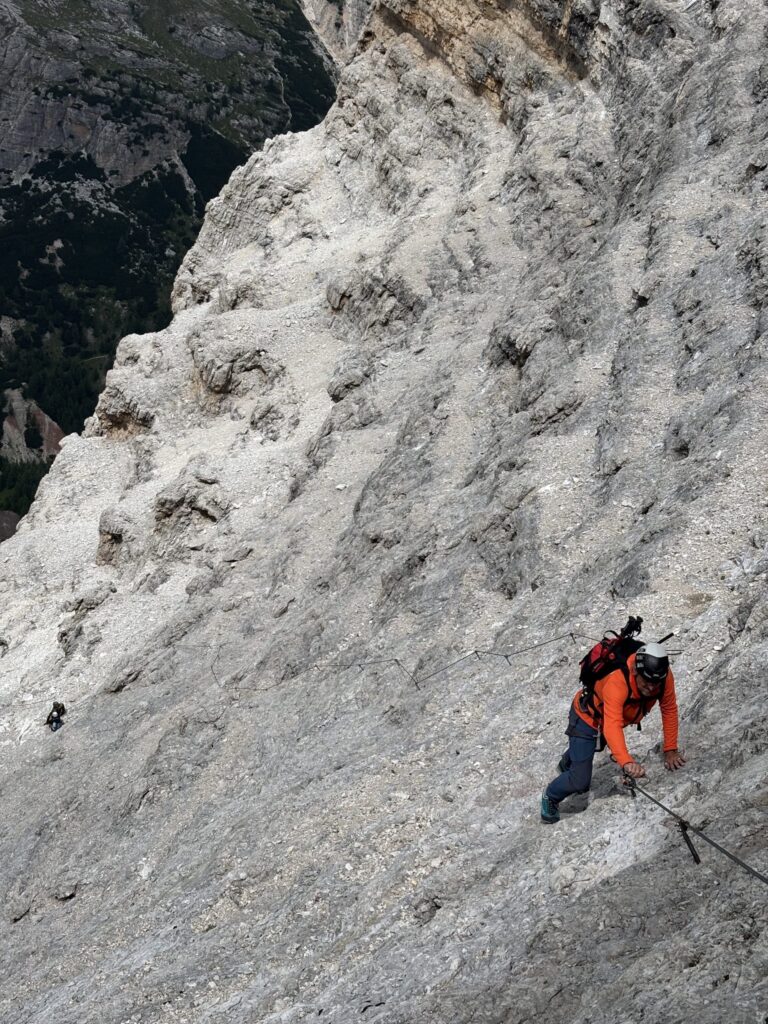
Once the cables begin, Via ferrata Giovanni Lipella climbs steeply upwards. Soon, the steep ascent is replaced by a lateral traverse. This is where the hardest section of the route begins, graded C/D, where you might have to support your full body weight on your arms.
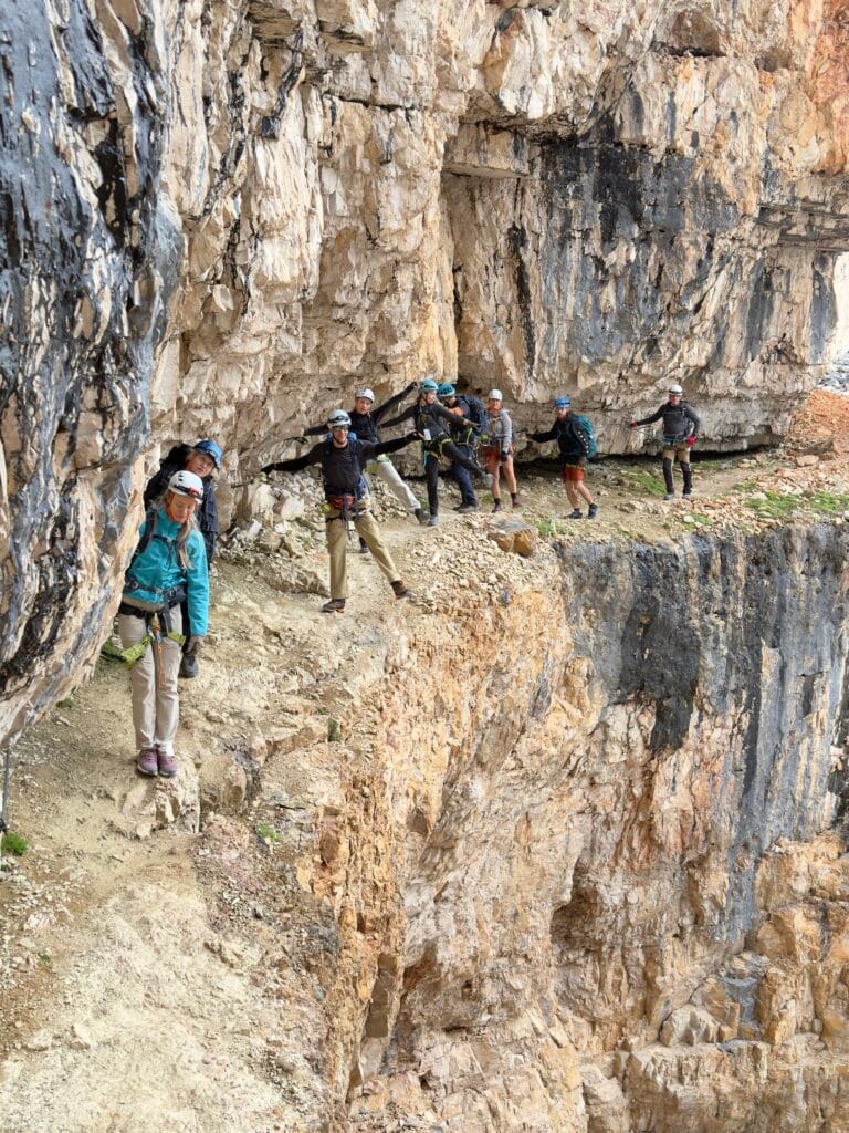
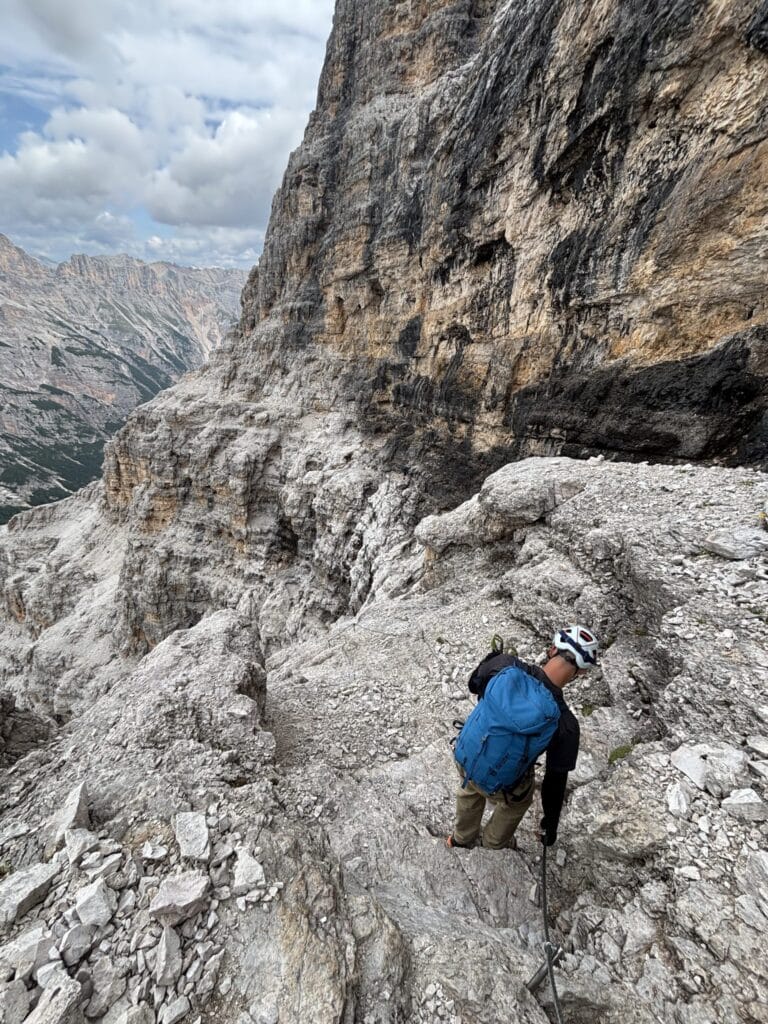
As the route climbs higher, the trajectory gradually turns towards the northwestern face of Tofana di Rozes. Traversing the ledges, the multi-colored rocks, and the increasingly magnificent views opening up in the distance make the climb incredibly interesting.
The via ferrata cables end at the Tre Dita junction. This is a great place to evaluate the weather, how you’re feeling, and decide whether you want to continue the route to the summit of Tofana di Rozes or descend to the Rifugio Giussani hut. A clearly marked gravel path leads down to it.
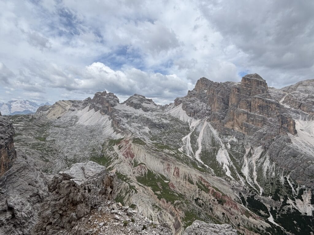
Via ferrata Giovanni Lipella to Tofana di Rozes Summit
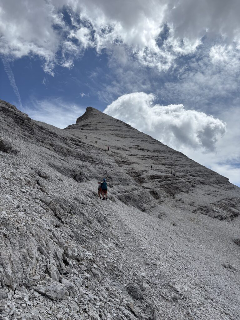
Turning towards the summit of Tofana di Rozes, the route leads into a wide rocky amphitheater. This is one of the most spectacular parts of the route. You can also expect steeper and longer vertical ascents in this section. These may require more upper body strength and pulling yourself firmly up the steel cable.
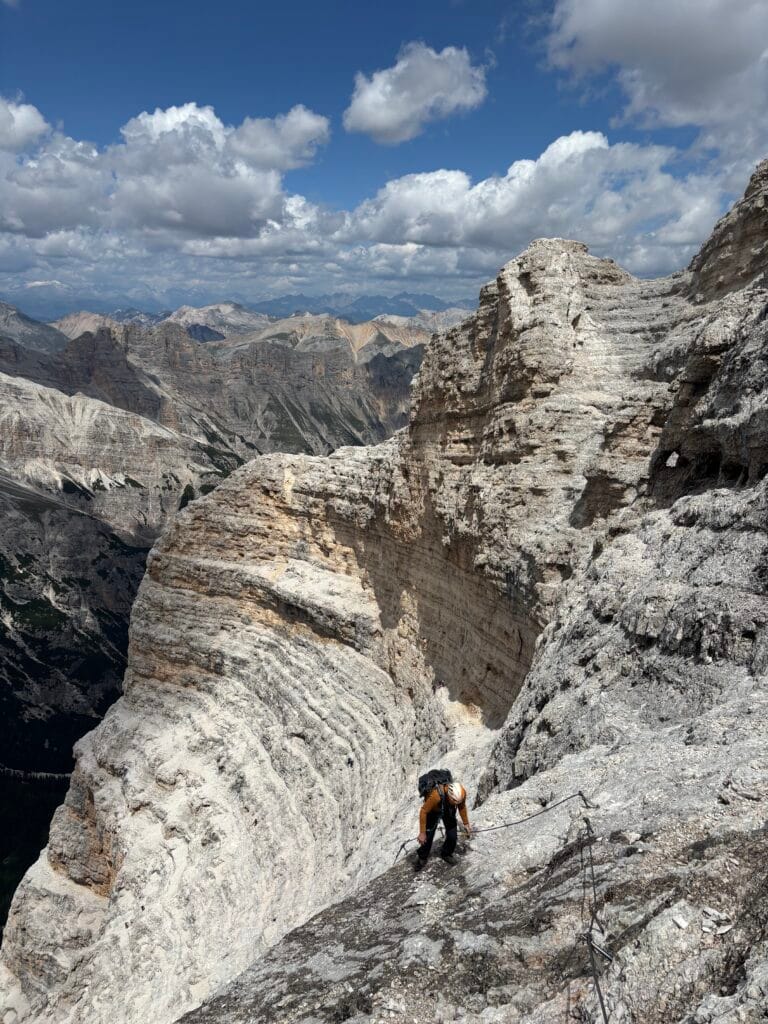
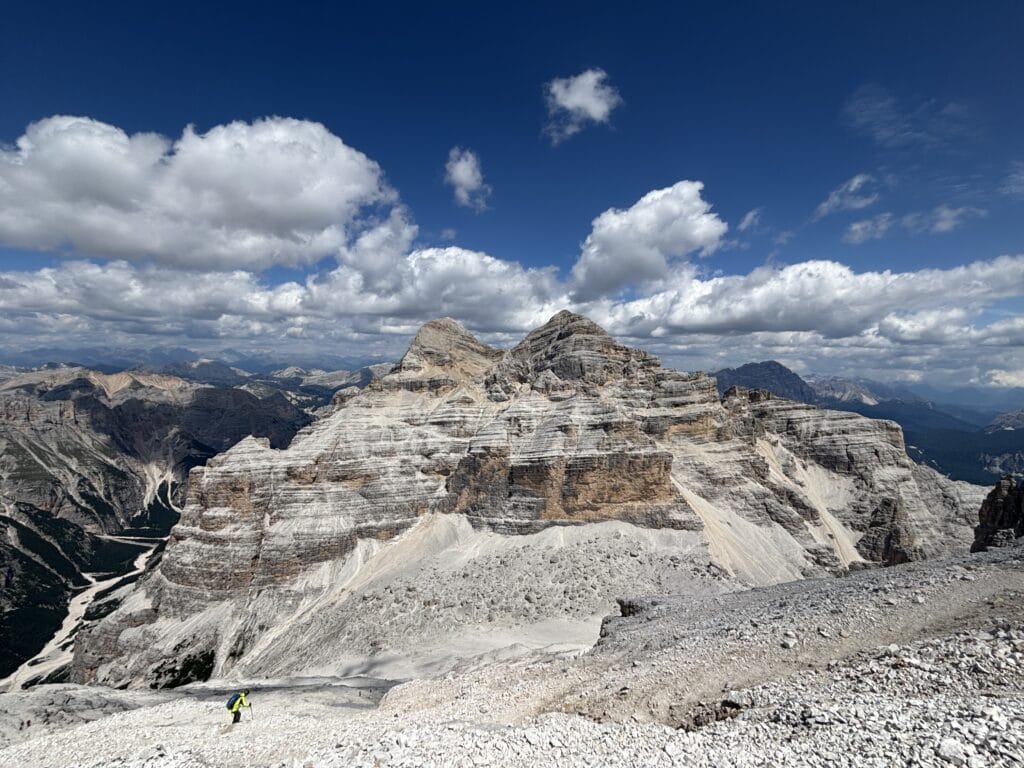
After about 1 hour of climbing, the steel cables end when you reach a ridge called Anticima, located at an altitude of about 3,027 m. From here, you get views of the neighboring Tofana di Mezzo peak and the Rifugio Giussani hut at its base. You can also see the remaining path to the Tofana di Rozes summit.
The ridge is another excellent spot to assess the weather and your physical condition. From this point, you can either hike the remaining 200 meters to the Tofana di Rozes summit or head down towards Rifugio Giussani. The path to the summit follows a steep gravel trail, so you shouldn’t lose your focus. However, the views from the top are absolutely stunning – a full 360 degrees! And the feeling of reaching the summit is incredibly rewarding, especially after completing such a long and challenging via ferrata like Giovanni Lipella.
Descent to Rifugio Angelo Dibona
The descent from the Tofana di Rozes summit leads back through the same ridge. You return not via the ferrata itself, but down the Normal Route (Via Normale) to the Rifugio Giussani (2,580 m) hut. The path is marked with blue paint and stone cairns. Still, even though it is marked, the trail can be easy to lose in several places; it is long and has many loose scree slopes. Coming down on tired legs, this roughly 1 to 1.5-hour section can be quite slippery, so it’s crucial to stay focused.
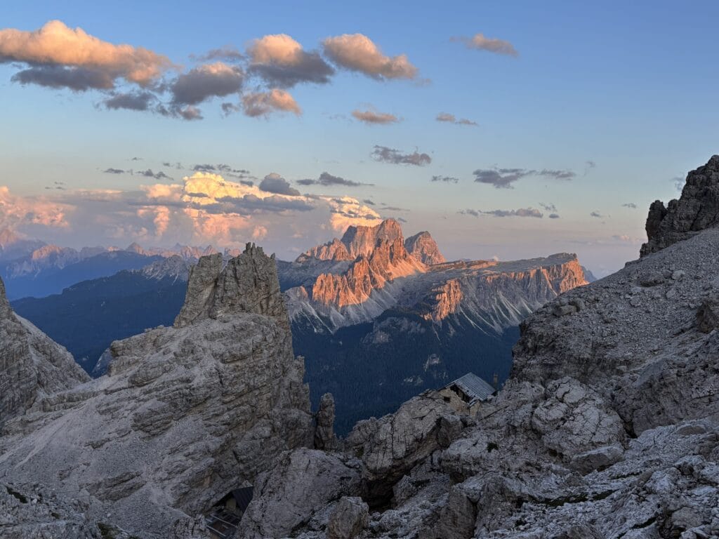
Once you descend to the Rifugio Giussani hut and look back, you realize just how long and steep the path from the summit was! From Rifugio Giussani to Angelo Dibona, a single, obvious, and wide path marked with the number 403 leads the rest of the way down.
Frequently Asked Questions (FAQ)
Other Routes Nearby
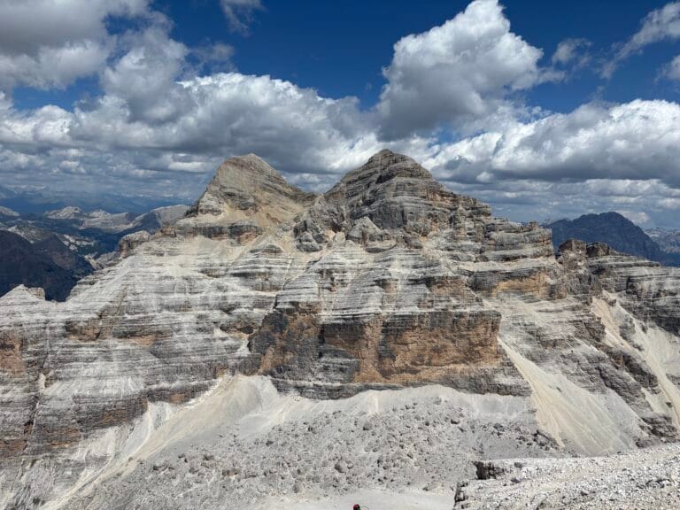
Via ferrata Giovanni Lipella | Dolomites
Via ferrata Giovanni Lipella is one of the longest and most iconic routes in the Italian Dolomites. From a pitch black World War I tunnel to the majestic summit of Tofana di Rozes (3,225 m), this route demands endurance but rewards you with unforgettable 360° views.
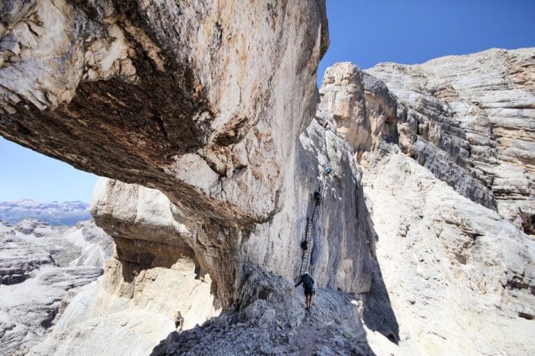
Via ferrata Giuseppe Olivieri and Gianni Aglio
If I had to pick just one favorite via ferrata in the Dolomites, it would be the route to Tofana di Mezzo (3,224 m). The combination of Giuseppe Olivieri and Gianni Aglio via ferratas delivers thrilling ledges, steep climbing and a natural rock formations that will blow your mind. Check this article to know what to expect, how to manage the time and for best options where to stay.
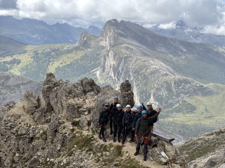
Via ferrata degli Alpini al col dei Bos in the Italian Dolomites
Via ferrata degli Alpini al col dei Bos offers the ultimate Dolomites experience. Discover the perfect blend of vertical climbing, World War I history, and breathtaking 360-degree views, complete with a route extension to the world’s highest sauna at Rifugio Lagazuoi.